

Drones in Flight
Aerial Drone Services
Reliable, easy and transparent aerial solutions

Drones In Flight, LLC provides high-resolution aerial image capture for progress monitoring, mapping and inspection services.
Explore how Drones in Flight advances every stage of your project, from initial surveys to completion. Discover more by exploring our service areas below.
Our Services
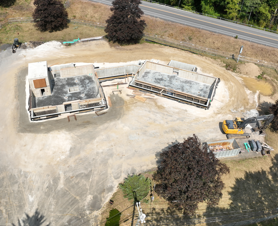
Drones in Flight offers precise, efficient, and cost-effective solutions for construction monitoring, infrastructure assessment, and site mapping. I provide high-resolution imagery and real-time data to improve accuracy, safety, and project tracking. Ideal for project managers, construction teams and engineers, drone inspections minimize risky manual checks, enable quick decisions, and boost efficiency. Trust Drones in Flight for leading aerial insights.
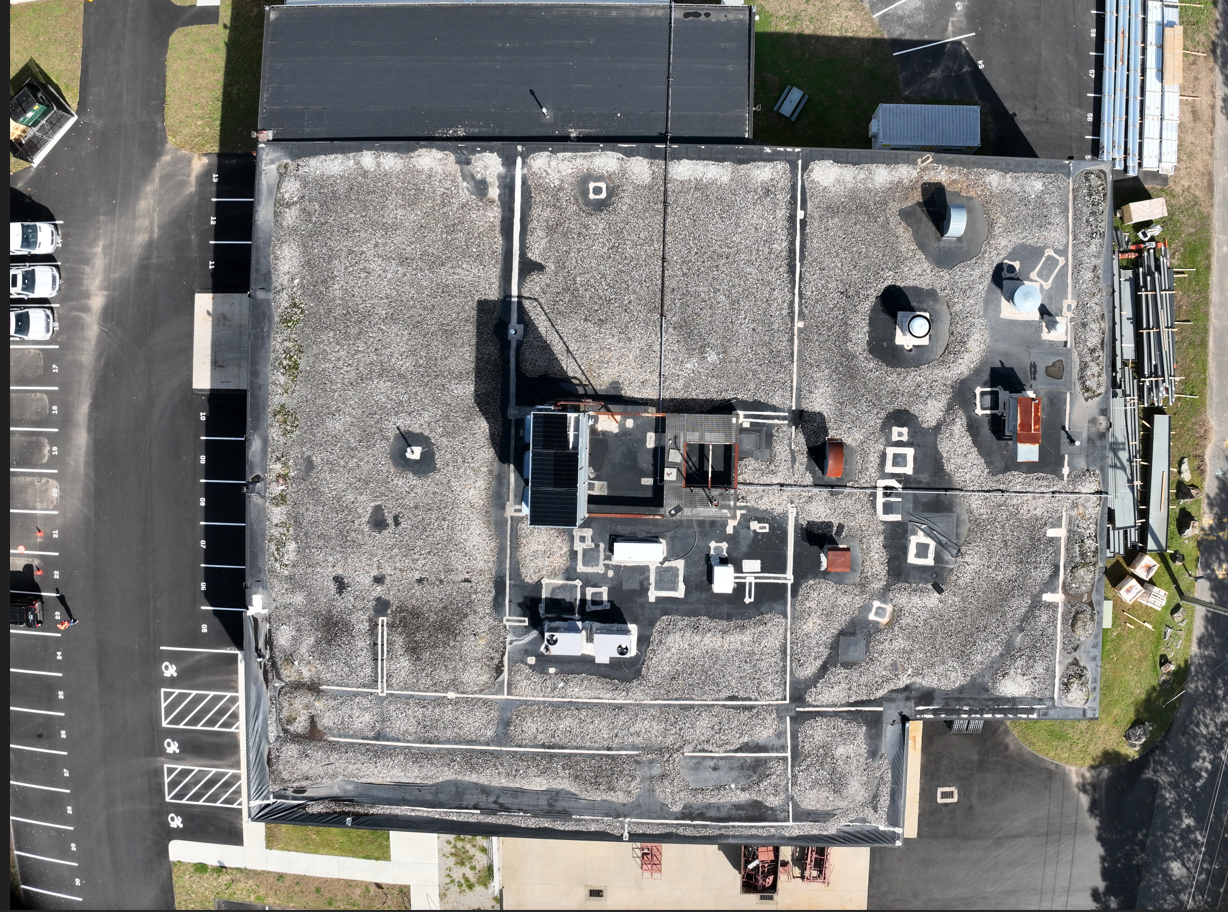
Make confident decisions with fast, accurate, and cost-effective drone inspections. I capture high-resolution images and data, identifying damage and structural issues without disrupting your operations. My aerial assessments enhance safety, reduce manual inspections, and boost efficiency. Rely on us for dependable insights to protect your commercial assets.

Orthomosaics are high-resolution, geometrically corrected aerial images stitched into accurate maps of construction sites or land areas. I deliver detailed orthomosaic maps and 3D modeling that supports precise project monitoring. You gain insight into site planning and analysis allowing you to make efficient decisions and reduce project risk. Use our high-quality maps to calculate area, volume, and distances with complete confidence.
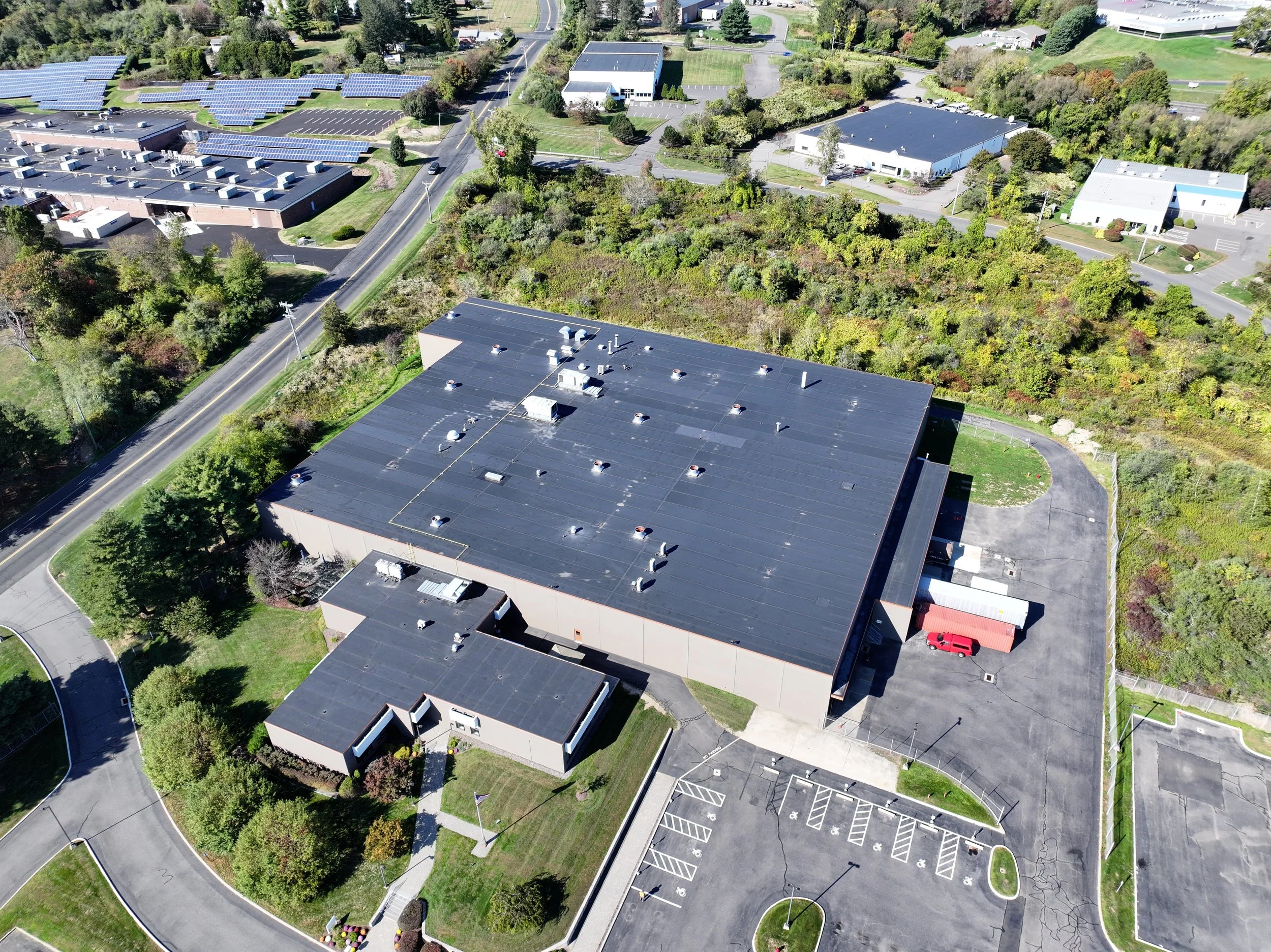
Drones in Flight offers commercial real estate photography to capture high-resolution aerial and ground images showcasing architectural features and site layouts. These visuals improve your marketing and offer valuable insights for investors, developers, and clients. Speed your transactions by creating listings that sell.
Contact Us
Interested in working together? Fill out some info and we will be in touch shortly. We can’t wait to hear from you!